
Precision farming, Precision agriculture, satellite farming or site specific crop management (SSCM) is a farming management concept based on observing, measuring and responding to inter and intra-field variability in crops.
The goal of precision farming is to define a decision support system (DSS) for whole farm management with the goal of optimizing returns on inputs while preserving resources.
We often see crop variations within our fields but still manage them the same….why?? The concept of Precision agriculture is designed to move farmers from blanket field recommendations to within-field, site-specific recommendations using tractors with GPS enabled application equipment.
Our precision farming services combines soil mapping with satellite imagery (satellite farming) to determine the level of variation in soil properties across each one of your fields. We use this information to identify different management zones within each field, and then provide you with recommendations to help you reach maximum potential in each zones. By combining our agronomy experience with crop trials data and the latest precision agriculture techniques, we can help you to push down farming costs and drive up farm profits.
Our precision farming technology is low-cost and very simple to implement, and includes the following:
To get free agriculture satellite imagery please talk to us via the button below
Order Precision Farming todayUse our satellite imagery to identify possible issues and monitor your farm with our high resolution satellite imagery that is updated every five days. Benefits include: pin-point areas where your crop or pasture is under-performing, monitor and track your trials and high value crops, save time and money by targeting you plant tissue and soil tests to inform decisions like fertiliser application and irrigation
SIGN UP TODAY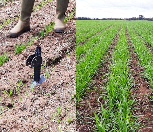
Determine the optimal conditions for plant growth using sensors and satellite imagery
Use field and remote sensing to continuously monitor your crops. This offers real-time data to help inform decisions
Use technology to help maximize the cost: benefit ration for plant nutrients, crop protection treatments and irrigation.

Farm advisory service (aka agronomy or agricultural advisory) equips farmers with data, tools & skills for efficient & profitable farm management

Calculate your soil carbon stocks
Fertilisers designed for local soils

Test Before you Invest. Let the experts check for you. Cropnuts offers excellent land suitability surveys if you are planning to start a new project!

Bringing talent to life

Quantifying investment risks
Crop Nutrition Laboratory Services, Limuru, off Limuru road, P.O. Box 66437-00800 Nairobi – Kenya
CROPNUTS GROUP
Kenya, Limuru
+254 711 094 444
support@cropnuts.com
Nigeria, Ibadan
+234 803 978 4205
agriserve_ng@cropnuts.com
Zambia, Lusaka
+260 97 742 2250
support_zm@cropnuts.com


